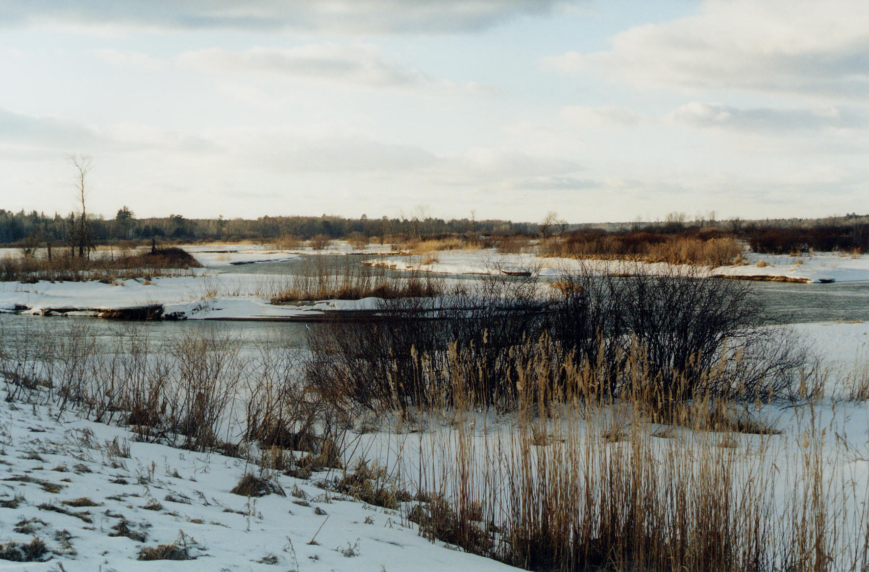
| Title | The Mississippi River as a meandering stream in the upper reaches of its watershed in northern Minnesota |
|---|
| Description | The Mississippi River as a meandering stream in the upper reaches of its watershed, Itasca-Cass County boundary, Ball Club Quadrangle, northern Minnesota. |
|---|
| Chronostratigraphy | Recent |
|---|
| Location | USA ▹ Minnesota ▹ Itasca. Near Ball Club. 1 mile west of Ball Club. |
|---|
| Photographer | Joseph Hartman. 2002-02-21. |
|---|
| Collection | Joseph Hartman C08913. |
|---|
| Key words | Mississippi River, meander |
|---|
| Tech details | 401 KB. Outcrop. Fuji 100, TIFF format. |
|---|
| GeoDIL number | 2450 |
|---|
 |
