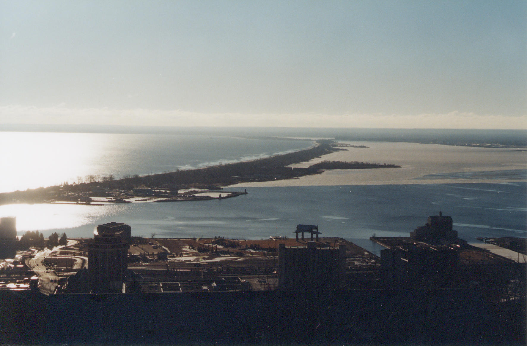
| Title | Minnesota Point (barrier island) and Superior Bay (back bay) at mouth of St. Louis River, Minnesota |
|---|
| Description | View east includes, from north to south, Lake Superior, Minnesota Point (barrier island), and Superior Bay (back bay) at the mouth of the St. Louis River, overlooking Duluth, St. Louis County, Minnesota. |
|---|
| Chronostratigraphy | Holocene |
|---|
| Geologic province | Midcontinent Rift |
|---|
| Location | USA ▹ Minnesota ▹ St. Louis. Near Duluth. Duluth Heights Quadrangle. |
|---|
| Photographer | Joseph Hartman. 2002-02-21. |
|---|
| Collection | Joseph Hartman C08860. |
|---|
| Key words | Baymouth bar, barrier island, back bay |
|---|
| Tech details | 274 KB. Vista. Kodachrome, TIFF. |
|---|
| GeoDIL number | 2417 |
|---|
 |
