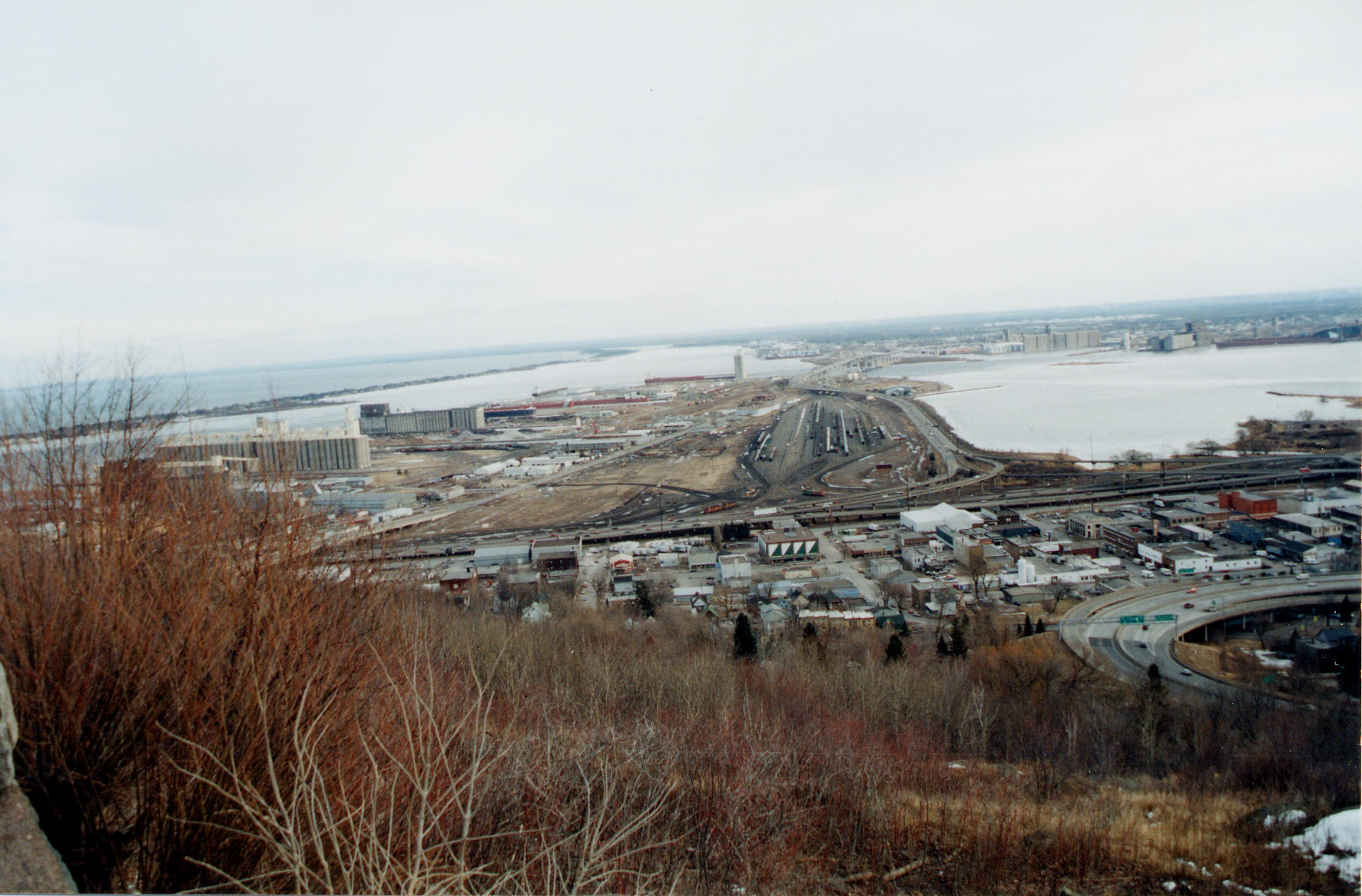
| Title | Duluth (MN)-Superior (WI) harbor on St. Louis River protected by Minnesota Point (barrier island) |
|---|
| Description | View east of Duluth (MN)-Superior (WI) harbor on St. Louis River, Minnesota. View includes Grassy Point (main land peninsula in view), Minnesota Point (barrier island to upper left), and Lake Superior beyond barrier island. |
|---|
| Chronostratigraphy | Holocene |
|---|
| Geologic province | Midcontinent Rift |
|---|
| Location | USA ▹ Minnesota ▹ St. Louis. Near Duluth, Superior. Duluth Heights Quadrangle. |
|---|
| Photographer | Joseph Hartman. 2002-02-21. |
|---|
| Collection | Joseph Hartman C08858. |
|---|
| Key words | Barrier island, baymouth bar |
|---|
| Tech details | 344 KB. Vista. Kodachrome, TIFF. |
|---|
| GeoDIL number | 2416 |
|---|
 |
