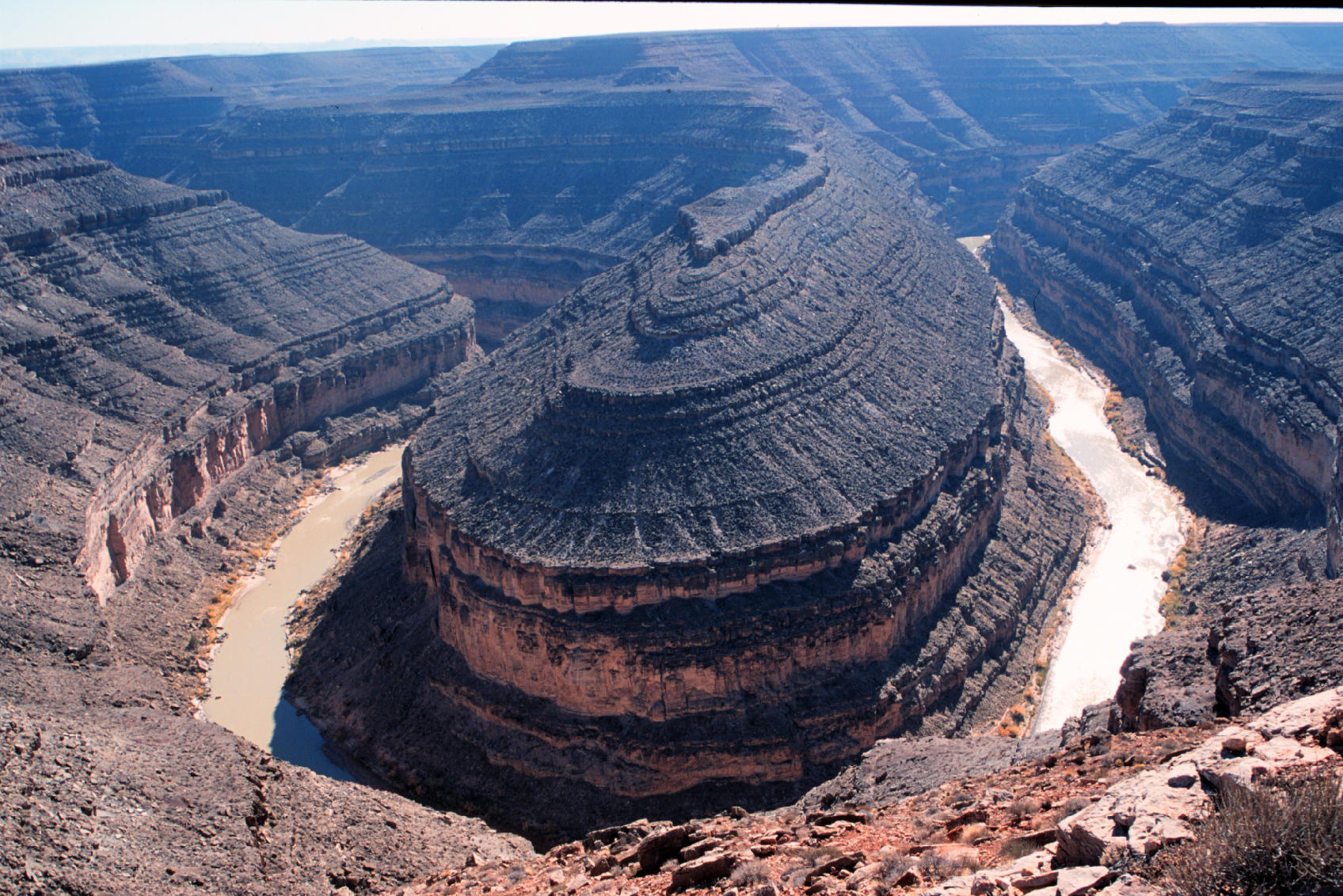
| Title | San Juan River at Goosenecks State Park, near Mexican Hat, Utah |
|---|
| Description | At the “Goosenecks” in southeastern Utah, the San Juan River has eroded 1000 feet down through Permian and Pennsylvanina strata. The boundary between the two is about 150 feet below the canyon rim but is indistinguishable without close inspection. Most of the rocks shown in this photo belong to the Hermosa Group (Pennsylvanian), which includes the Honaker Trail Formation and Paradox Formation. The high slopes and upland surface belong to the Rico Formation (Pennsylvanian-Permian). |
|---|
| Chronostratigraphy | Pennsylvanian |
|---|
| Lithostratigraphy | Hermosa Group, Rico Formation |
|---|
| Location | USA ▹ Utah ▹ San Juan. Near Mexican Hat. Goosenecks State Park. |
|---|
| Photographer | Dexter Perkins. 1999. |
|---|
| Collection | E211102992P-34. |
|---|
| Tech details | 474 KB. Vista. Canon EOS Rebel, 55mm, Kodak Elite Chrome 100 ASA. |
|---|
| GeoDIL number | 1773 |
|---|
 |
