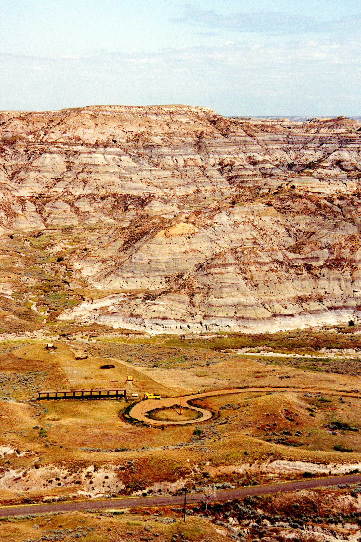
| Title | Cretaceous Hell Creek Formation and Paleocene Ludlow Formation (Fort Union Group) K/T boundary section Makoshika State Park, Dawson County, Montana |
|---|
| Description | View northeast across Cains Coulee of uppermost Cretaceous Hell Creek Formation and Paleocene Ludlow Formation (Fort Union Group), Makoshika State Park, Dawson County, Montana. View includes K/T boundary interval near lower dark band in upper part of section. |
|---|
| Chronostratigraphy | Upper Cretaceous, Paleocene |
|---|
| Lithostratigraphy | Hell Creek Formation, Ludlow Formation (Fort Union Group) |
|---|
| Geologic province | Williston Basin |
|---|
| Location | USA ▹ Montana ▹ Dawson. Near Glendive. Makoshika State Park. |
|---|
| Photographer | Joseph Hartman. 1992. |
|---|
| Collection | Joseph Hartman C02504. |
|---|
| Key words | Hell Creek Formation, Ludlow Formation, Fort Union Group, K/T boundary |
|---|
| Tech details | 836 KB. Vista. Kodachrome, TIFF format. |
|---|
| GeoDIL number | 1179 |
|---|
 |
