A Geoscience Digital Image Library
A Geoscience Digital Image Library

| Title | Earthquake rupture in Motagua Valley, Guatemala |
|---|---|
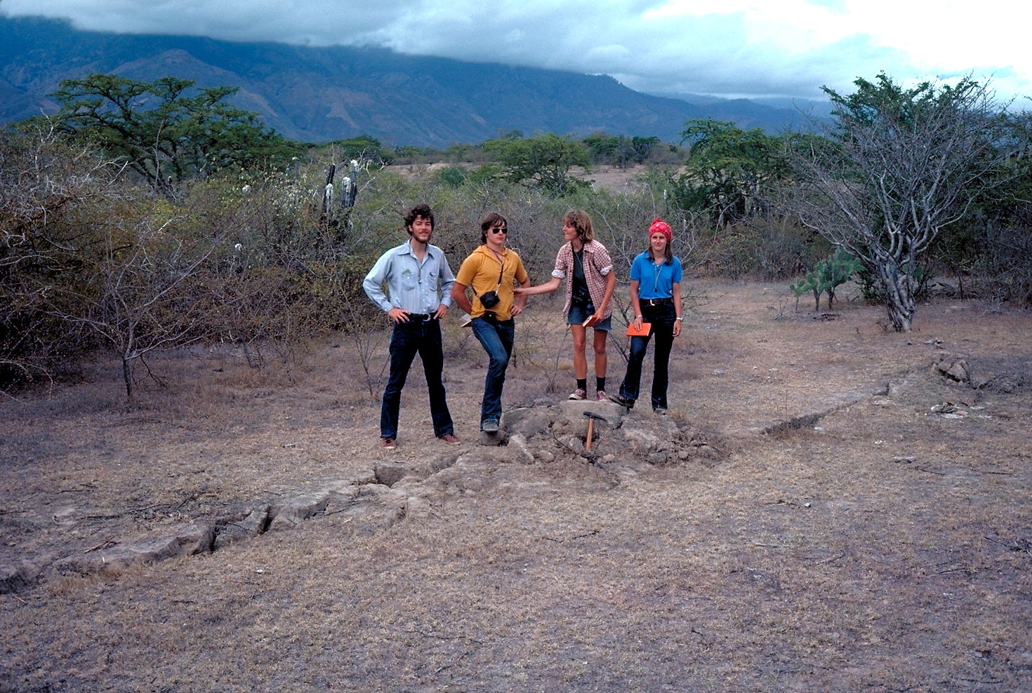
| Description | Dartmouth undergraduates standing astride the trace of the magnitude 7.5 earthquake rupture that formed February 4, 1976, in the Motagua Valley, Guatemala. This earthquake killed or injured almost 100,000 people. A prominent mole track may be seen near the center of the field of view that was caused by transpression in right en echelon stop in the left-lateral tear. The Motagua Fault is a transform marking the boundary between the North American and Caribbean plates. The photo was taken near the demolished town of Zacapa. |
| Location | Guatemala. Near Zacapa. Motagua Valley. |
| Photographer | Richard Hazlett. 1995. |
| Collection | Keck Structural Geology Slide Set #RH5. |
| Key words | earthquake, rupture, Guatemala |
| Tech details | 382 KB. Outcrop. |
| GeoDIL number | 3015 |
| Copyright | Richard Hazlett |