A Geoscience Digital Image Library
A Geoscience Digital Image Library

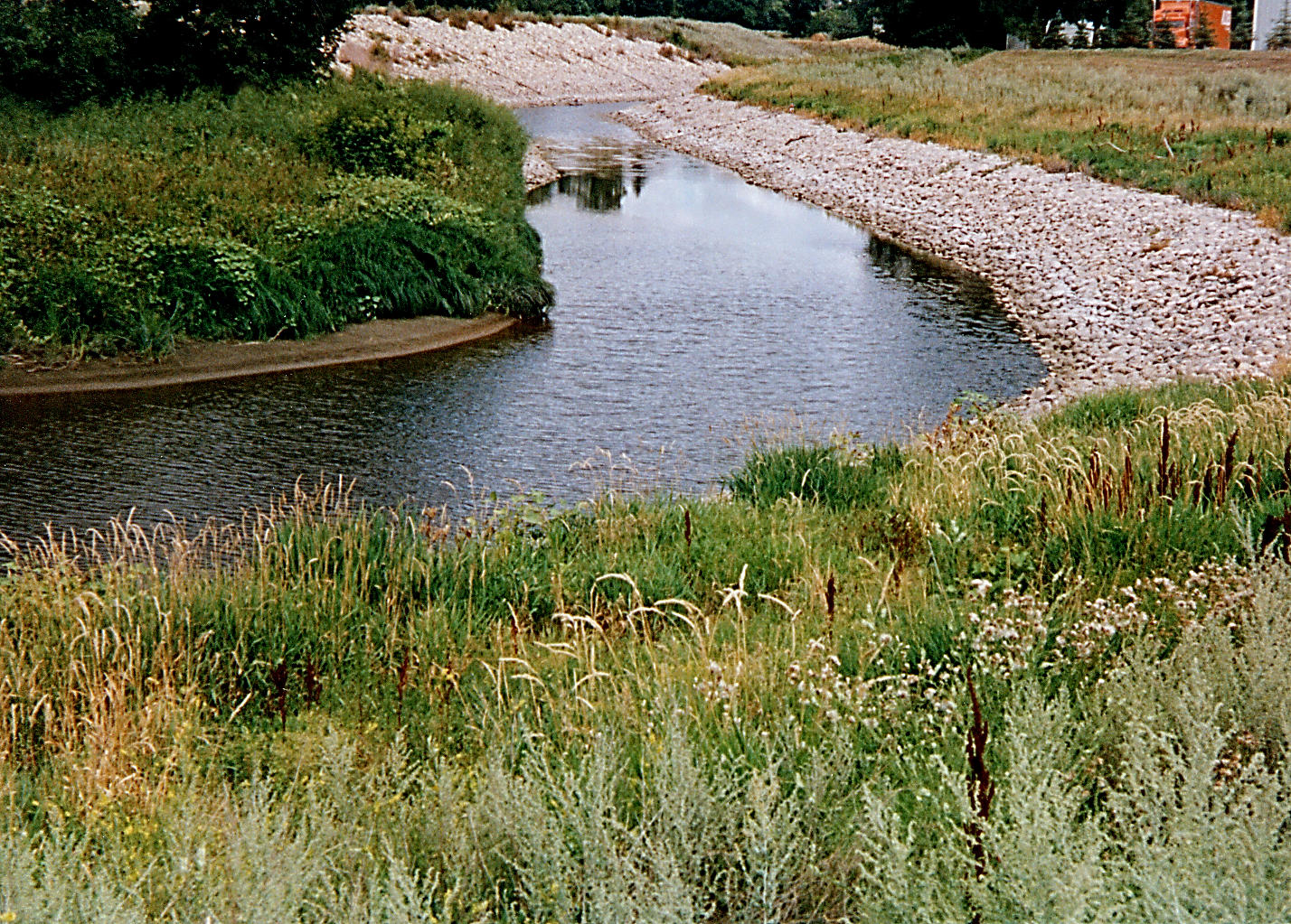
| Title | Rip rap as erosion control |
|---|---|
| Description | Large rocks have been used to line the outside meanders of the Souris River in an attempt to minimize erosion of the outer bends. |
| Location | USA ▹ North Dakota ▹ Ward. Near Minot. About 10 miles west of Minot along the Souris River. |
| Photographer | Eric Brevik. 1997. |
| Key words | erosiona control, fluvial processes, rip rap |
| Tech details | 551 KB. 35mm, 200 ASA, print film. |
| GeoDIL number | 2959 |
| Copyright | Eric C. Brevik |