A Geoscience Digital Image Library
A Geoscience Digital Image Library

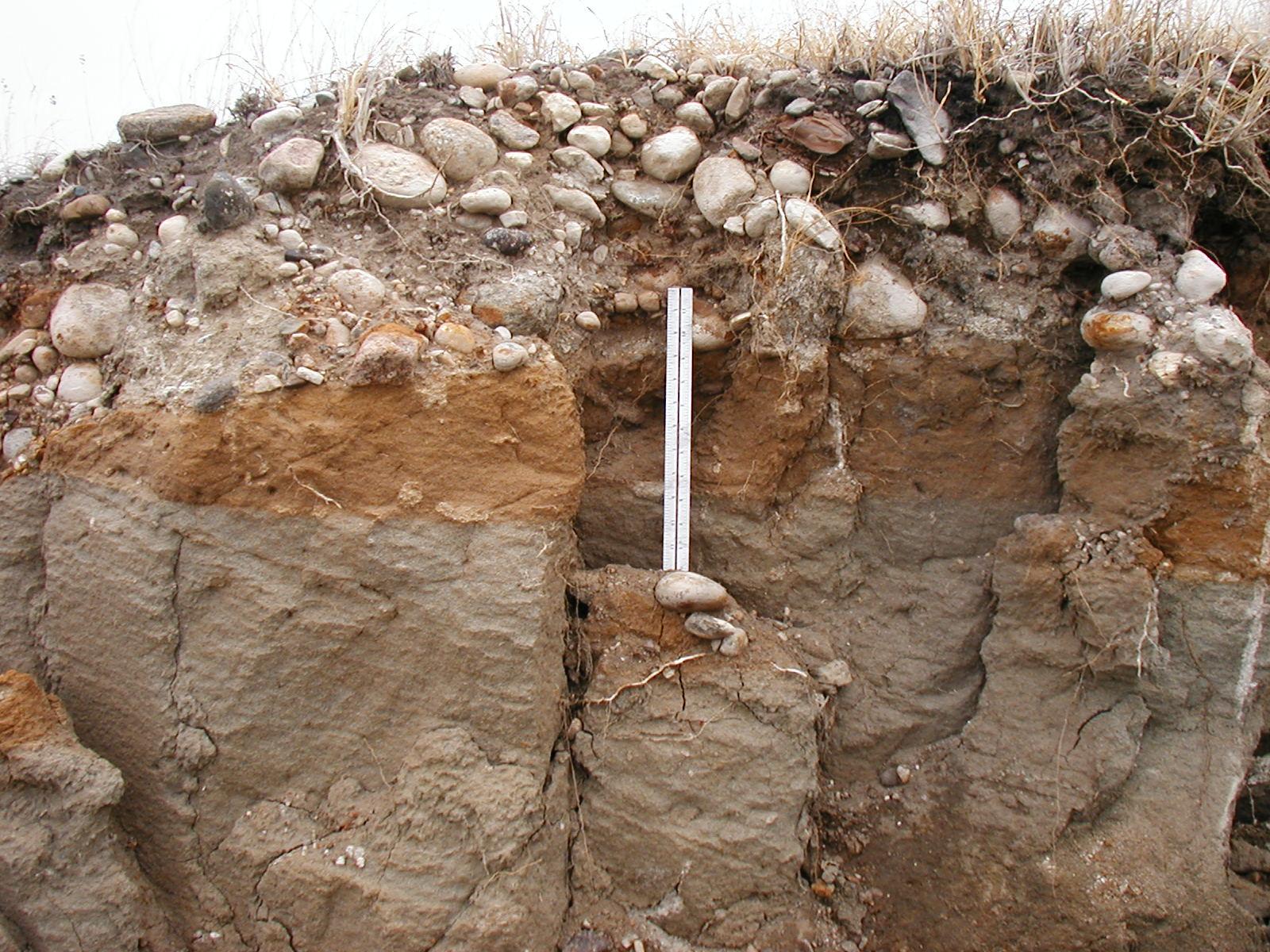
| Title | Unconformity |
|---|---|
| Description | Glacial/fluvial deposits (Quaternary) overlying Bullion Creek (early Tertiary) sandstone. This exposure is an area of small scale slumping adjacent to the south bound lane of Highway 2/52 approx 1/4 mile north of Burlington, ND. |
| Chronostratigraphy | Quaternary/Early Tertiary |
| Lithostratigraphy | Bullion Creek |
| Location | USA ▹ North Dakota ▹ Ward. Near Burlington. An area of small scale slumping adjacent to the southbound lane of Highway 2/52 approx 1/4 mile north of Burlington, ND. |
| Photographer | Tom Anderson. 2002-05-13. |
| Key words | Unconformity, Bullion Creek |
| Tech details | 384 KB. Outcrop. Olympus D-510 digital camera. |
| GeoDIL number | 2866 |
| Copyright | Tom Anderson |