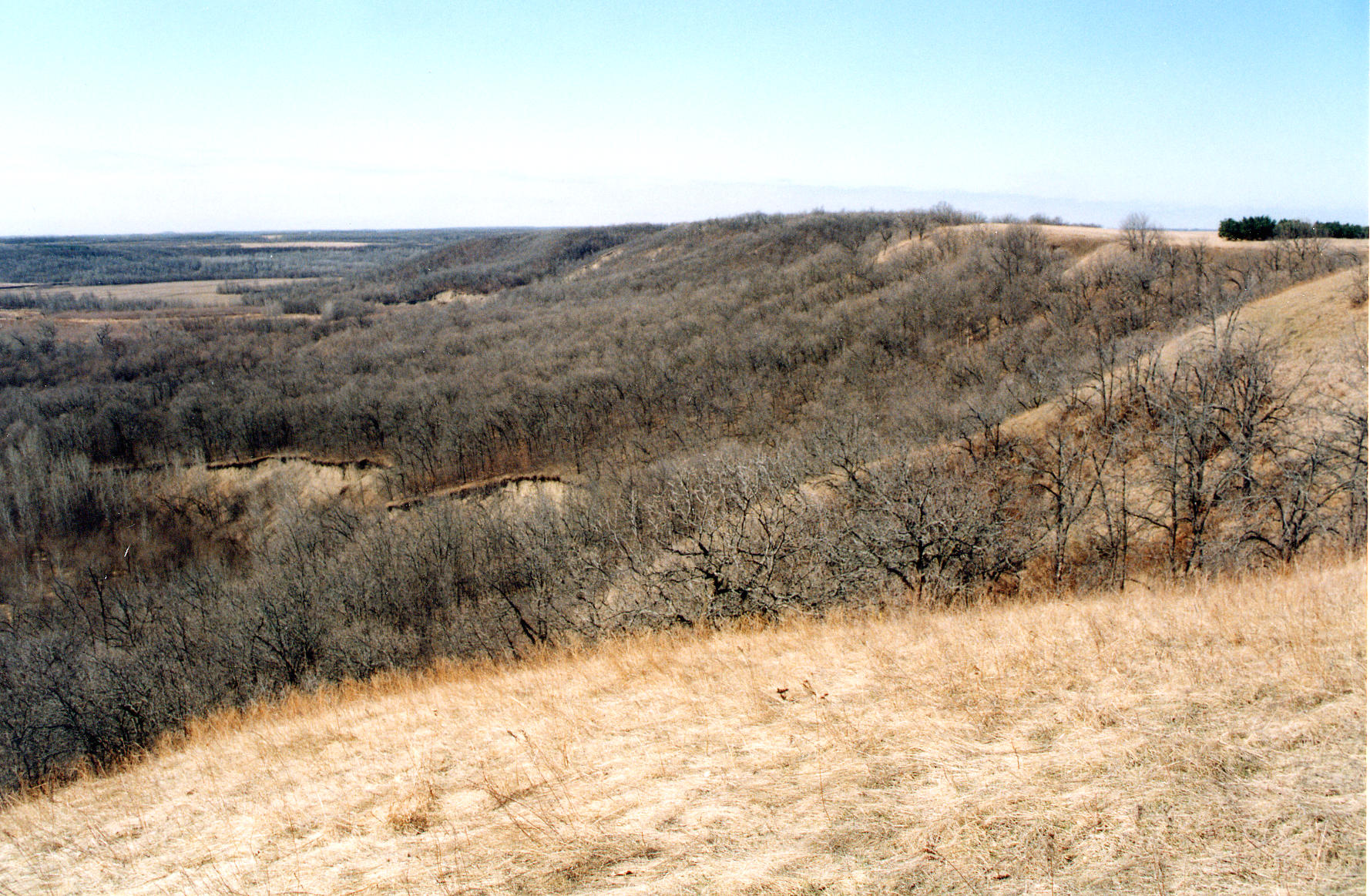
| Title | The Pembina Escarpment and Pembina River Valley, a glacial feature west of Walhalla, Pembina County, North Dakota |
|---|
| Description | The Pembina Escarpment is an east-facing scarp that abruptly rises more than 250 ft above the plain of glacial Lake Agassiz and marks the boundary between the Agassiz lake plain (lower area) and the Pembina Delta (higher level). The escarpment is predominantly sandstone, with the underlying strata consistenting of relatively soft Cretaceous marine shales that were eroded to initially form the scarp. Glaciers moving southward into the Red River Valley scoured the face of the scarp. The hard, resistant Odanah Member of the Pierre Shale occurs near the top of the escarpment and prevents its rapid erosion. Photo taken from Lookout Point southwest of Walhalla. |
|---|
| Chronostratigraphy | Upper Cretaceous |
|---|
| Lithostratigraphy | Pierre Formation |
|---|
| Location | USA ▹ North Dakota ▹ Pembina. Near Walhalla. Pembina River Valley. |
|---|
| Photographer | Joseph Hartman. 2002-05-07. |
|---|
| Collection | Joseph Hartman C9381. |
|---|
| Key words | escarpment |
|---|
| Tech details | 525 KB. Vista. Kodachrome, TIFF. |
|---|
| GeoDIL number | 2841 |
|---|
 |
