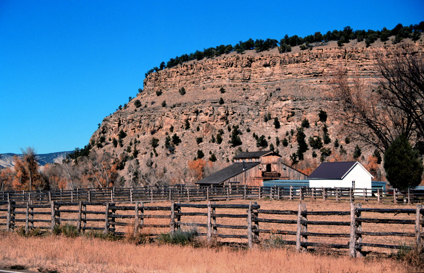
| Title | Dakota Sandstone cliff above ranch on U.S. Highway 550, 4 miles south of Montrose, Colorado |
|---|
| Description | The Dakota Group (two cliff bands and intervening shale at top of bluff) is of lower Cretaceous Age, and overlies slopes of the Jurassic Morrison Formation in this photo. Rocks of the Group are found across several western states. Although often referred to as “Dakota Sandstone,” the group actually consists of two formations with a number of different members. The Dakota Group sediments were deposited beginning about 135 million years ago, as a sea began to move westward across Colorado. Ripple-marks and dinosaur tracks in the upper layers suggest deposition in a beach environment. As the sea deepened, marine sediments were deposited, eventually becoming the shales and limestones (Late Cretaceous) that overlie the Dakota Group (but are not seen in this photo). |
|---|
| Chronostratigraphy | lower Cretaceous |
|---|
| Lithostratigraphy | Dakota Sandstone |
|---|
| Location | USA ▹ Colorado ▹ Montrose. Near Montrose. |
|---|
| Photographer | Dexter Perkins. 1999. |
|---|
| Collection | E191030993F-01. |
|---|
| Key words | Dakota Sandstone, Morrison Formation, Colorado |
|---|
| Tech details | 317 KB. Vista. Canon EOS Rebel, 55mm, Kodak Elite Chrome 100 ASA. |
|---|
| GeoDIL number | 1743 |
|---|
 |
