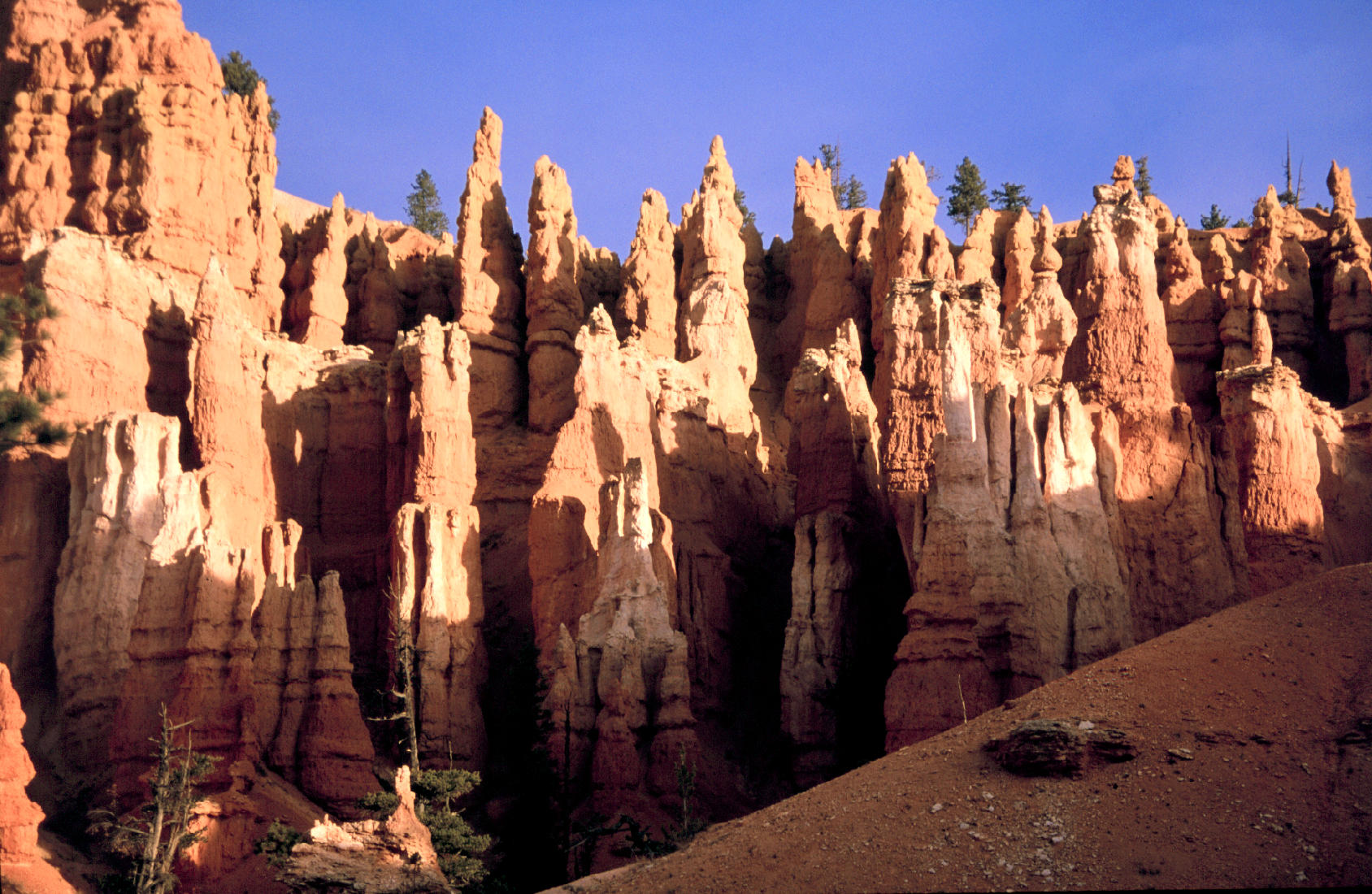
| Title | Hoodoos at Bryce Canyon National Park |
|---|
| Description | The hoodoos at Bryce Canyon National Park are towers and spires, up to several hundred feet tall, carved out of the Claron Formation. The Claron formation contains iron-rich limey sedimentary rocks, formed from freshwater lake deposits of the Paleocene and Eocene Epochs (40 to 63 Million Years ago). The Paria River and its tributaries eroded the edge of the Paunsaugunt Plateau (on which Bryce Canyon National Park lies), creating tall thin ridges called fins, and eventually the pinnacles and spires called hoodoos. |
|---|
| Chronostratigraphy | Eocene, Oligocene |
|---|
| Lithostratigraphy | Claron Formation |
|---|
| Location | USA ▹ Utah ▹ Garfield. Near Tropic. Bryce Canyon National Park. |
|---|
| Photographer | Dexter Perkins. 1999. |
|---|
| Collection | E30110991P-20. |
|---|
| Key words | hoodos, Bryce Canyon, Claron Formation, Paunsaugunt |
|---|
| Tech details | 384 KB. Vista. Canon EOS Rebel, 55mm, Kodak Elite Chrome 100 ASA. |
|---|
| GeoDIL number | 1736 |
|---|
 |
