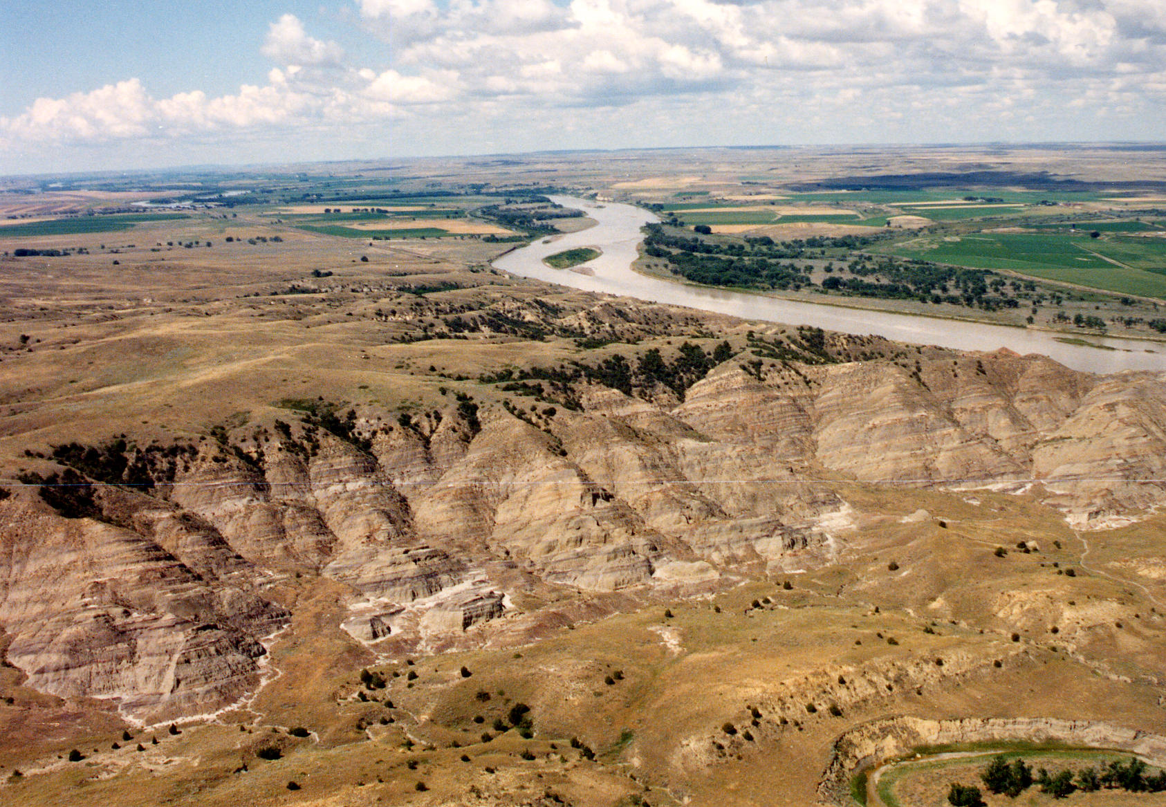
| Title | West flank of Cedar Creek Anticline, Yellowstone River, Dawson County, Montana |
|---|
| Description | View west of west flank of Cedar Creek Anticline cut by Yellowstone River, Cedar Creek, Dawson County, Montana. View includes Upper Cretaceous Fox Hills and Hell Creek Formations and overlying Paleocene Ludlow Formation (Fort Union Group). |
|---|
| Chronostratigraphy | Upper Cretaceous, Paleocene |
|---|
| Lithostratigraphy | Fox Hills Formation, Hell Creek Formation, Ludlow Formation (Fort Union Group) |
|---|
| Geologic province | Williston Basin |
|---|
| Location | USA ▹ Montana ▹ Dawson. Near Glendive. |
|---|
| Photographer | Joseph Hartman. 1992. |
|---|
| Collection | Joseph Hartman C02466. |
|---|
| Key words | Cedar Creek Anticline, Fox Hills Formation, Hell Creek Formation, Ludlow Formation, Fort Union Group |
|---|
| Tech details | 511 KB. Vista. Ektachrome, TIFF format. |
|---|
| GeoDIL number | 1174 |
|---|
 |
